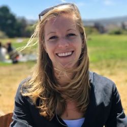
Annie Taylor
Annie is a PhD candidate at UC Berkeley using satellite imagery and other geospatial tools to study the impacts of Indigenous stewardship in partnership with the Amah Mutsun Tribal Band of California’s Central Coast. She has worked extensively in Google Earth Engine, a powerful remote sensing API, to study ecosystem change over time and space. Her previous research analyzed forest mortality in response to drought on Santa Cruz Island in the California Channel Islands. Annie comes to us after three years as a GIS Analyst at Peninsula Open Space Trust, an environmental nonprofit working to protect and steward parks, farmland, and open spaces in the Bay Area. Prior to that, she spent four years in Vermont at Middlebury College where she earned her Bachelor’s degree in Biology with a minor in Spanish language. She is dedicated to applying her skills in remote sensing, ecology, and GIS to study the earth and promote environmental justice and Indigenous sovereignty. On the Farm to School Evaluation Team, Annie is helping with geospatial analysis and helping to communicate our work through this website.